
Nanda Devi is the second-highest mountain in India, after Kangchenjunga, and the highest located entirely within the country (Kangchenjunga is on the border of India and Nepal). It is the 23rd-highest peak in the world. Nanda Devi was considered the highest mountain in the world before computations in 1808 proved Dhaulagiri to be higher. It was also the highest mountain in India until 1975, when Sikkim, an independent kingdom until 1948 and a protectorate of India thereafter, became a part of the Republic of India. It is located in Chamoli Garhwal district of Uttarakhand, between the Rishiganga valley on the west and the Goriganga valley on the east. The peak, whose name means "Bliss-Giving Goddess", is regarded as the patron goddess of the Garhwal and Kumaon Himalayas. In acknowledgment of its religious significance and for the protection of its fragile ecosystem, the Government of India declared the peak as well as the circle of high mountains surrounding it—the Nanda Devi sanctuary—off-limits to both locals and climbers in 1983. The surrounding Nanda Devi National Park was declared a UNESCO World Heritage Site in 1988.


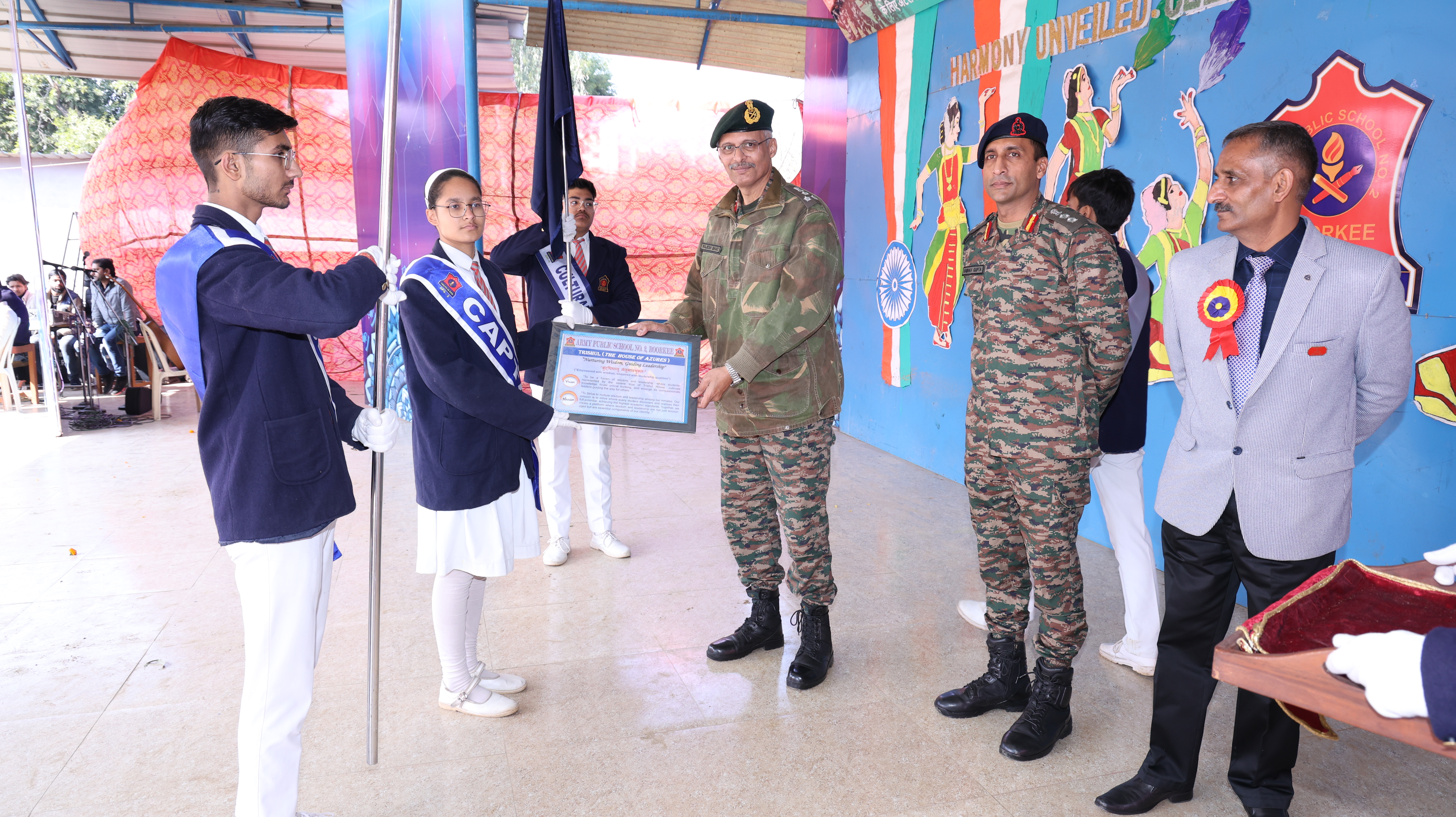
VISION : "To be a haven of wisdom and leadership, where students, represented by the serene blue of Trishul House, cultivate knowledge, foster critical thinking, and emerge as compassionate leaders guiding the way for others."
MISSION : "To Strive to nurture wisdom and leadership among our inmates. Our mission is to strive where every student discovers and realizes their full potential, achieving the highest academic standards. Together, we create a platform where wisdom and leadership are not just encouraged but are essential components of our identity."

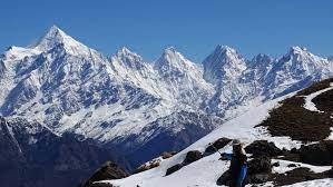
The Panchachuli (पंचाचुली) peaks are a group of five snow-capped Himalayan peaks lying at the end of the eastern Kumaon region, near the Dugtu village in Darma valley. The peaks have altitudes ranging from 6,334 metres (20,781 ft) to 6,904 metres (22,651 ft). They form the watershed between the Gori and the Darmaganga valleys. Panchachuli is also located on the Gori Ganga-Lassar Yankti divide. The group lies 138 km (86 mi) from Pithoragarh.
The coordinates of this peak are Latitude 30°10'48" and Longitude 80°28'12".
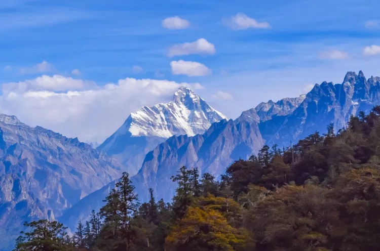
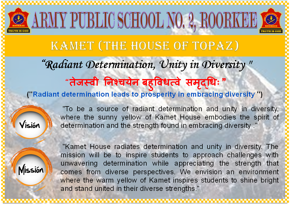
Kamet is the second highest mountain in the Garhwal region of Uttarakhand, India, after Nanda Devi. It lies in the Chamoli District of Uttarakhand. Its appearance resembles a giant pyramid topped by a flat summit area with two peaks. There are varying explanations of the name "Kamet." C. F. Meade gives the pronunciation as /ˈkʌmeɪt/, and claims that it is known to Tibetans as Kangmen, signifying "huge grandmother of a sacred snow chain". However, Frank Smythe writes in his book Kamet Conquered that the genesis of the name is from the Tibetan word Kangmed ("the lower snows", from kang, "snow", and med, "little"), as distinct from the "higher snows" of the Kailash range, 110 miles east of Kamet. (This range is slightly lower than Kamet, its highest peak being Gurla Mandhata, 7,728 m/25,355 ft; however it stands more fully on the high Tibetan Plateau). At dawn and dusk, "the copper colored rock of Mount Kamet reflecting the oblique rays of the sun on its hanging glaciers appears to set these glaciers aglow with crackling flames and bathes the mountain in a red burning glow". Hence the term "glacier fire" is also used as an allusion to the name Kamet.
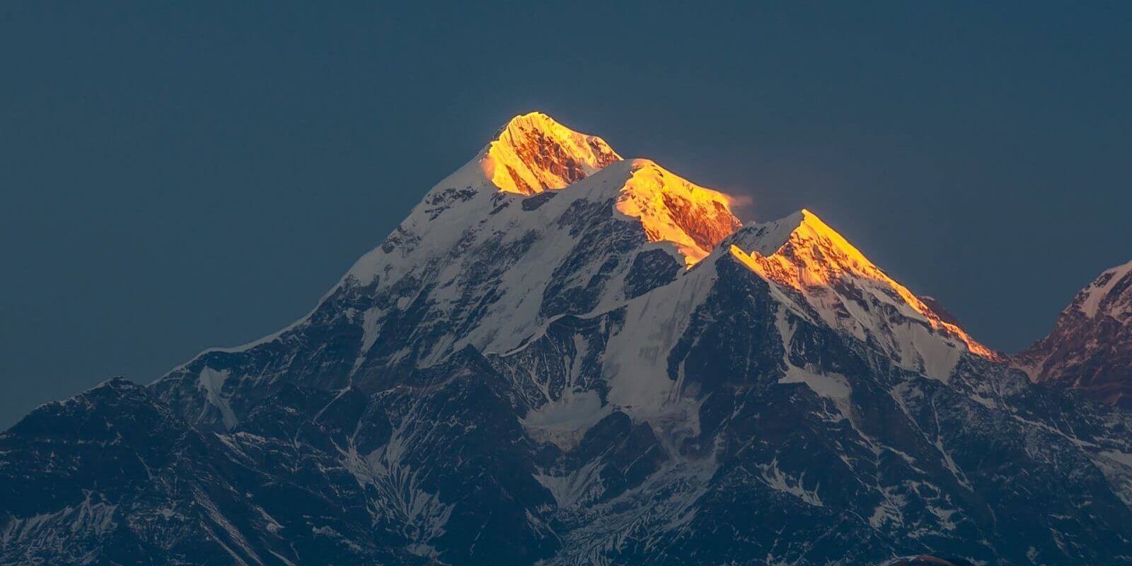
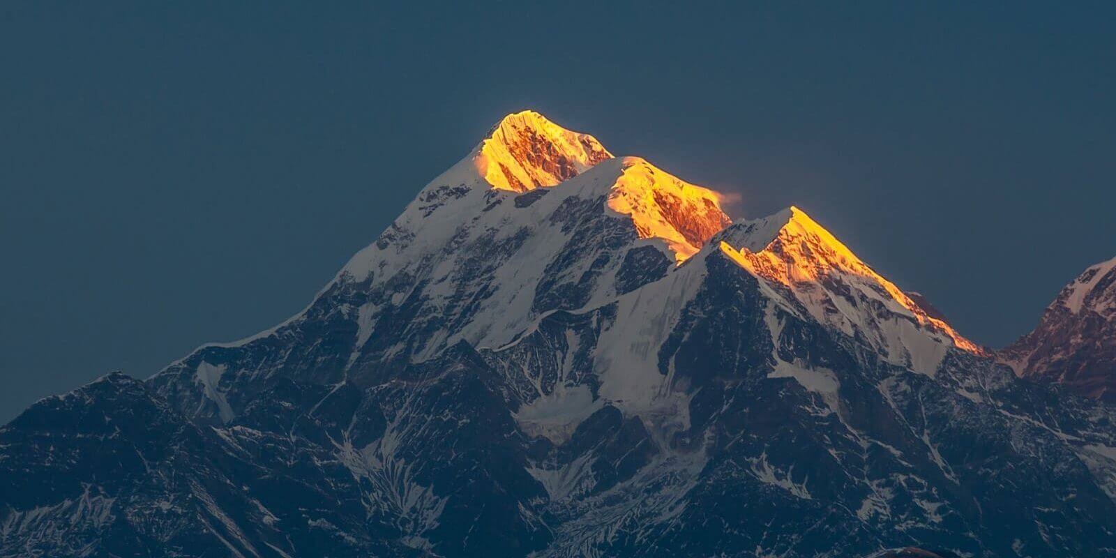
Trisul is a group of three Himalayan mountain peaks of western Kumaun, Uttarakhand, with the highest (Trisul I) reaching 7120m. The three peaks resemble a trident - in Sanskrit, Trishula, trident, is the weapon of Shiva. The Trishul group forms the southwest corner of the ring of peaks enclosing the Nanda Devi Sanctuary, about 15 kilometres (9 mi) west-southwest of Nanda Devi itself. The main peak, Trisul I, was the first peak over 7,000 m (22,970 ft) to have ever been climbed, in 1907. The three peaks are named Trisul I, Trisul II, and Trisul III. The massif is a north-south ridge, with Trisul I at the north end and Trisul III at the south. The massif runs roughly North-South, and hence appears compressed when viewed from the south (Ranikhet, Kausani), and more stretched out from the Southeast (Chamoli, Bedini Bugyal).
| Designation | ||||
|---|---|---|---|---|
| House Incharge | Mr. Prashant Kulashari | Mr. Kamal Singh Maan | Mr. Pankaj Jagwan | Mr. Kamal Singh Mehta |
| House Captan | Mr. Prashant Kulashari | Mr. Kamal Singh Maan | Mr. Pankaj Jagwan | Mr. Kamal Singh Mehta |
| House Vice Captan | Mr. Prashant Kulashari | Mr. Kamal Singh Maan | Mr. Pankaj Jagwan | Mr. Kamal Singh Mehta |
| House Activity Incharge | Mr. Prashant Kulashari | Mr. Kamal Singh Maan | Mr. Pankaj Jagwan | Mr. Kamal Singh Mehta |
| House Games Incharge | Mr. Prashant Kulashari | Mr. Kamal Singh Maan | Mr. Pankaj Jagwan | Mr. Kamal Singh Mehta |
| Activities | First Posn | Second Posn | Third Posn | Forth Posn |
|---|---|---|---|---|
| Inter House Kho-Kho Competition | ||||
| Inter House Kho-Kho Competition | ||||
| Inter House Kho-Kho Competition | ||||
| Inter House Kho-Kho Competition | ||||
| Inter House Kho-Kho Competition |
| POSITION | POINTS | HOUSE |
|---|---|---|
| FIRST POSITION | 100 | |
| SECOND POSITION | 80 | |
| THIRD POSITION | 60 | |
| FORTH POSITION | 40 |